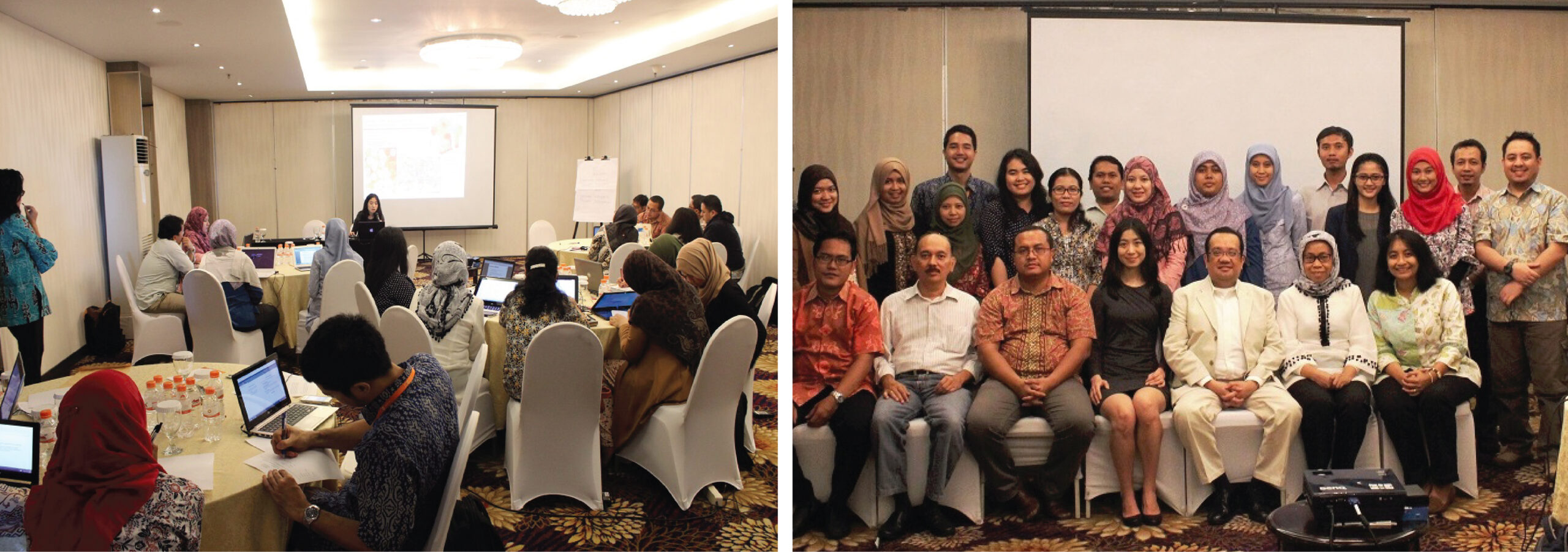
This study is about the Method Development for Disaggregating Population Data for Climate Change Adaptation Analysis in the level of village, a study case in Semarang (Method Development for Disaggregating Population Data for Climate Change Adaptation Analysis at Village Level) is a corporate collaboration between the Urban and Regional Development Institute (URDI), United Nations Population Funds (UNFPA), and IUCCE.
IUCCE is the associated researcher required in this study. This study was conducted over three (3) months from May to July 2015. This research is the method development for disaggregating population data for climate change adaptation analysis which is undertaken by the community in Semarang until the administrative level at the village level. One of the expected results of the program is the Central Government and Local Government capacity development in connection with the dynamics population in the climate change adaptation policies and disaster risk reduction issue.
This study indicates that Semarang and its surroundings, is one area that has long been dealing with the various hazards such as drought, soil degradation, landslides and floods. The threat of such disasters will continue to increase with the climate changes. At the same time, the rapid economic growth of Semarang as the core of the Kedungsepur Metropolitan has led to the urbanization of Semarang. The urbanization is led to the social and economic problems such as poverty, unemployment,pollution and environmental damage. The analysis process uses the population and disaster data analysis at the level of Semarang. It is aimed to map the villages which are the most vulnerable to flood and landslides.
The GIS program is used in this method. After mapping is done at the municipal level, the development of methods is carried out at the villages most vulnerable of the mapping results at the municipal level. The mapping at the village level is also taken from the disaster and demographic data to determine where is the most vulnerable RW. Tanjung Mas village is the village that are most vulnerable to the tidal flood, as well as Sukorejo village is the most vulnerable to landslides. By overlaying the population and disaster data, it can be seen RW and RT are the most vulnerable to flood and landslides. The results of the research conducted by IUCCE can be used to analyze the most vulnerable region to the smallest administrative boundaries in the level of RT in order to map the climate change adaptation which can be done by utilizing the demographic data.
